
Mapping the World: From Ancient Charts to Modern GIS (Webinar)
Explore how maps evolved from hand-drawn guides to powerful digital tools shaping how we understand our world.
Take a journey through the history and transformation of cartography, from early mapmaking to cutting-edge GIS technology. Discover how these innovations are used today to support real-world environmental work in places like Anza-Borrego Desert State Park.
What to Expect:
- A brief history of mapping and its earliest uses
- Key revolutions that changed cartography forever
- The rise of aerial mapping and remote sensing
- How maps went digital: an introduction to GIS
- A real-world case study: Anza-Borrego’s mapping journey
- Insights into how mapping supports conservation and decision-making today
Who Should Attend:
- Students and educators interested in geography, environmental science, or technology
- Professionals in natural resources, planning, or conservation
- GIS enthusiasts or beginners curious about mapping tools
- Anyone interested in how maps influence the way we see and manage the world
Date: Wednesday, June 3, 2026
Time: 12:00 p.m.–1:00 p.m.
Location: Online via Zoom. Instructions to access the webinar will be available upon registration and resent the week of the event.
Cost:
ABF Member: FREE Not a member? Join today for as little as $35 and go to this event for free!
Non-Member: $10
Student: $5
Register Here
Cancellation Policy & Scholarships: Please see our FAQs page to read our cancellation policy and learn about scholarship options.
What Past Participants Are Saying:
“Depth, thoroughness and clarity of information as well as intriguing videos”
“I always eagerly anticipate upcoming virtual programs…they are terrific.”
“The presenter was articulate, well-paced, and really knew the topic.”
Bio: Rama Ewing holds a master’s degree in environmental science—along with a bachelor’s degree in Natural Resource Management. She’s worked with consulting firms, taught at universities, and currently work with the California Department of Parks and Recreation. Part of her role involves researching, analyzing, and mapping data to support our parks and natural resources. For example, she assists our environmental scientists at Anza-Borrego Desert State Park by using Geographic Information Systems (GIS) software. She helps design digital surveys that work even in remote locations. Once the data is collected, she analyzes and visualizes it to make it easy to understand and use. One project she’s especially proud of: In 2024, Anza-Borrego Desert State Park was awarded as a “Quiet Park” by Quiet Parks International. Her contribution was creating a map that shows the quietest areas in the park, based on sound data collected by Matt Mikkelsen of Hayloft Audio LLC. You can view the interactive version of that map online: Anza-Borrego Quiet Map She has also developed public surveys that allow both staff and visitors to report damage to park resources, such as fire rings, graffiti, or other issues. These reports help park management make better decisions about where to focus resources and allocate budgets more effectively.

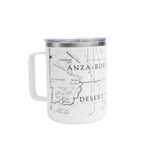
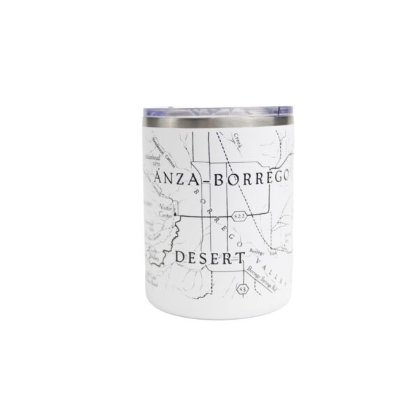
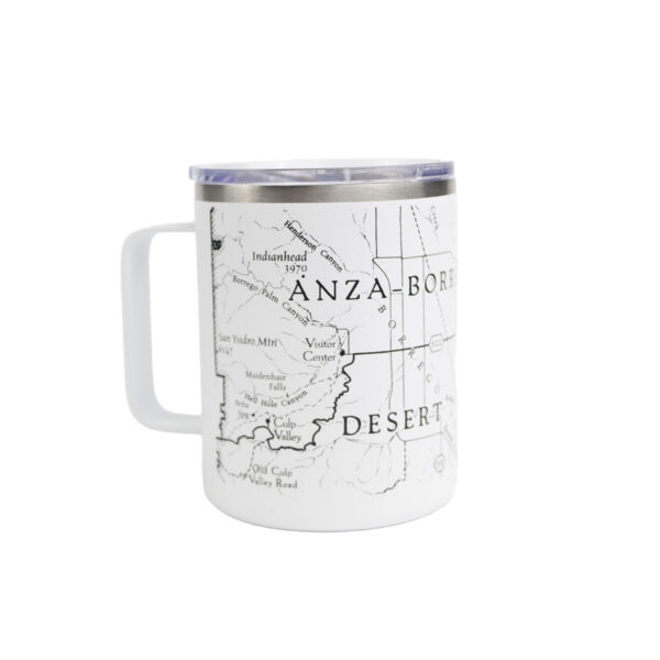
Grab your Anza-Borrego Vintage Map Coffee Tumbler!